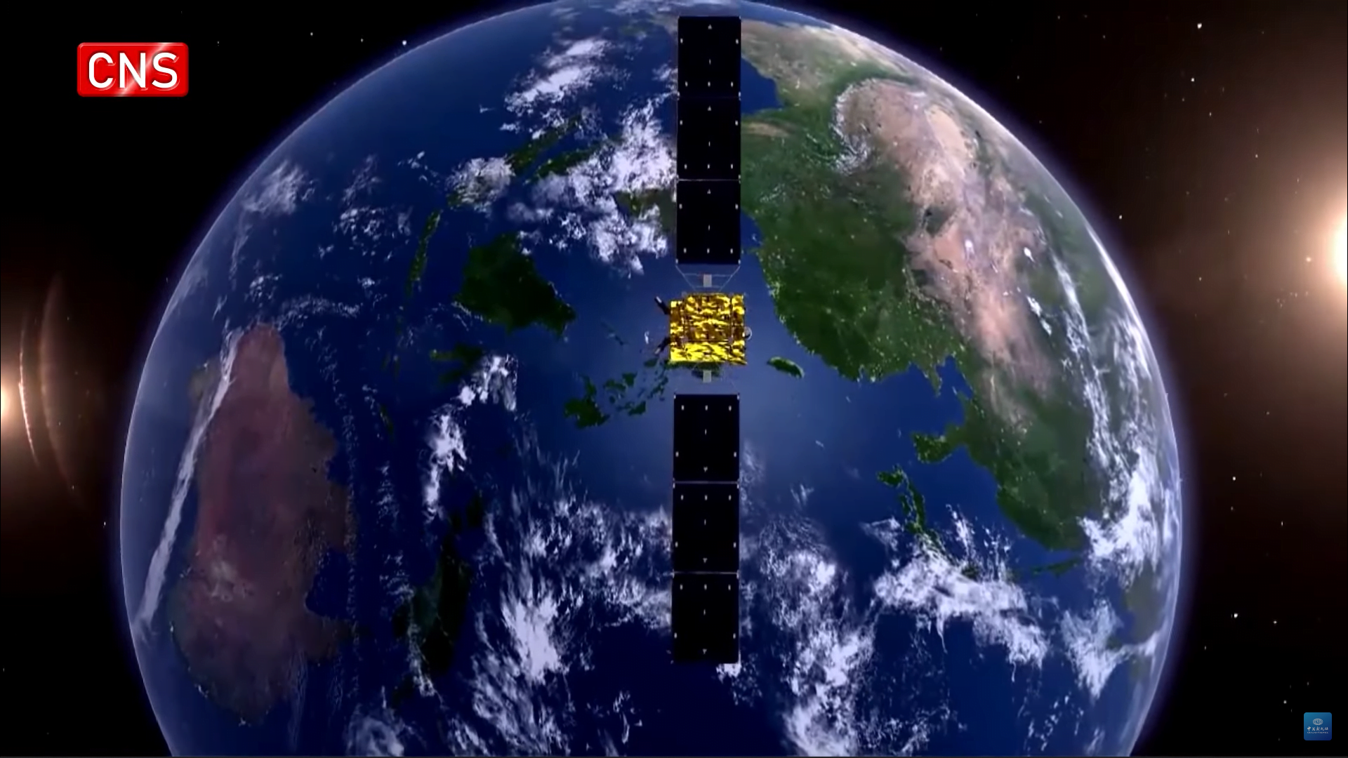
GPS stands for Global Positioning System, developed by the United States. Beidou is the Satellite navigation system developed by China. The GPS made operations with global coverage in 1995, whereas on 27 December 2018, BeiDou Navigation System ( BDS ) started providing Global Coverage. The GPS has 31 satellites orbiting earth, whereas BeiDou has 35 satellites. BeiDou has a more efficient and robust system providing accuracy in under 1 meters, whereas GPS accuracy is under 4.9 meters.
GPS Vs BeiDou
| Aspect | GPS (Global Positioning System) | Beidou (BeiDou Navigation Satellite System) |
|---|---|---|
| Origin | United States | China |
| Number of Satellites | 31 | 35 |
| Operational Since | 1978 (Fully operational in 1995) | 2000 (Regional), 2018 ( Global Coverage ) |
| Global Coverage | Yes | Yes, since BDS-3 |
| Accuracy | Under 4.9 meters | Under 1 meters |
| With Augmentation: <1 meter | With Augmentation: <1 meter | |
| Frequency Band | L1, L2, L5, L1C, L2C, L2E | B1, B2, B3 |
| Signal Encryption | Encrypted signals available | Encrypted signals available |
| Applications | Navigation, Surveying, Mapping | Navigation, Telecommunications, Surveying |
| Geolocation, Timing, | Precision Agriculture, | |
| Tracking, Marine, Aviation, | Disaster Relief, | |
| Military, and more. | Intelligent Transportation Systems, | |
| Location-Based Services |
BeiDou Navigation System ( BDS )
BeiDou Navigation Satellite System also known as BDS is a Global Navigation Satellite System ( GNSS ) developed by China for a much more reliable Satellite Navigation. China already had an agreement with Russia to use the GLONASS for basic navigation but after the incident of 1995 during Taiwan Strait Crisis, where the Chinese Ballistic missiles lost track because of unexpected disruption. China decided to develop their own satellite Navigation and thus the BeiDou was started.
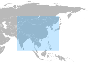
The BeiDou system has 3 satellite constellations. The First one called the BDS-1 consists of just 3 satellites and provided limited coverage in and around the China region in the year 2000. The Second one consists of 10 satellites and became operational in China by December 2011. This constellation provided coverage for all of the Asia Pacific ( APAC ) region.
Then in the year 2015, China began BDS-3 which aimed to provide global coverage for the BeiDou Navigation system and on 27 December 2018, BeiDou Navigation System ( BDS ) started providing Global Coverage. China launched an overall of 59 Satellites into orbit under the BDS project and the last one being launched on 23rd, June 2020. This satellite became the 35th in the BDS-3 Generation.
The BeiDou became the default navigation system in Chinese smartphones with over 70% of all Chinese smartphones using the BDS system. The Belt and Road Initiative ( BRI ) of China already partnered with 120 companies on abandoning GPS and using Beiduo in China provinces.


Advantages of BeiDou
- Global Coverage
- Dual-Frequency Signals for Increased Accuracy
- High Precision (centimeter-level)
- Wide Range of Applications
- BeiDou Regional Navigation System (BDS-3) for Asia-Pacific enhancement
- Compatibility and Interoperability with other satellite navigation systems
- Autonomous Positioning capabilities
- Continuous Improvement and Expansion
Limitations of BeiDou
- Limited global coverage compared to GPS and other systems.
- Relatively fewer satellites in orbit, leading to reduced signal availability in certain areas.
- Lower accuracy in some regions compared to GPS and other established systems.
- Compatibility issues with older BeiDou and other GNSS receiver models.
- Potential vulnerabilities to signal interference and jamming due to its military origins.
- Limited adoption and support in some non-Asian countries, affecting widespread usability.
- Fewer compatible devices and applications compared to GPS and other well-established systems.
- Less established and tested for safety-critical applications like aviation compared to GPS and other mature systems.
Global Positioning System ( GPS )
GPS stands for Global Positioning System. It was originally called Navstar GPS. GPS is a satellite based navigation system owned by the United States of America. GPS is one the Global Navigation Satellite System that gives location information, i.e, where the GPS receiver is pointed on the Earth.
The GPS satellites are positioned in the Medium Earth Orbit ( MEO ) to achieve global coverage. There were a total of 83 GPS satellites built and 31 satellites will be operational in orbit at any given point of time. The GPS system requires a minimum of 24 healthy Satellites to provide reliable position data.
Advantages of GPS
- GPS satellite constellations are strategically positioned in a way to provide global coverage.
- GPS systems are Highly accurate providing precise information for multiple applications.
- Real time date provided by the GPS enables instant navigation and tracking
- Compatibility of GPS is high. Therefore, used in various devices such as smartphones, vehicles and wearables.
- GPS is a very mature system, thus providing robust infrastructures for navigation purposes.
Limitations of GPS:
- GPS signals can be interfered with by huge and tall buildings and dense foliage. Thus the signal is weakened, causing less accuracy.
- The GPS uses electromagnetic waves and thus those waves are poor at penetrating walls, the effectiveness of the GPS is limited for indoor navigation.
- In remote regions, the GPS signals may be weak or unavailable because of the Limited signal availability.
- The high reliance of satellite networks might make it vulnerable to potential system disruptions.
- GPS receivers try to communicate with the satellites continuously and thus making it hard for continuous usage in battery powered mobile devices.
Conclusion
GPS and BeiDou are both global navigation satellite systems, with GPS being developed by the United States and BeiDou by China. BeiDou started providing global coverage in 2018 and has 35 satellites, while GPS has been operational since 1995 with 31 satellites. BeiDou offers higher accuracy (under 1 meter) compared to GPS (under 4.9 meters). Both systems have their advantages and limitations. GPS has wider adoption and compatibility, while BeiDou offers centimeter-level precision and is dominant in Chinese smartphones. Overall, both systems are valuable tools for navigation and location-based services.


Pingback: GNSS Bands - LIDAR and RADAR