When gps was invented?
The Global Positioning System ( GPS ) was developed by the US government’s Defence Department. The development began in the year 1973 and the first Prototype Satellite launch happened in the year 1978 and The GPS system became Fully operational in the year 1993.
When was GPS made public?
The GPS was made available for public use on September 16, 1983 after the Korean Air Lines Flight 007 Incident that happened because of Navigational Error. But there was a deliberate signal degradation applied to the signal called Selective Availability. The Selective Availability was discontinued and the GPS at its full capacity became available on May 1, 2000.
When was GPS invented for cars?
The First Car with GPS navigation capability was the Mazda Eunos Cosmo, In February 1990.

When was GPS invented for phones?
The first cell phone with GPS capability was Benefon ESC, launched in late 1999.

How many satellites make up the global positioning system?
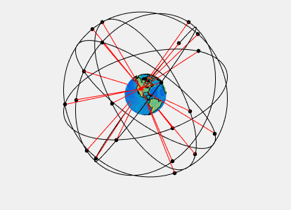
There are 38 total satellites in orbit, out of which 32 are operational and active satellites are 24 which makes up the constellation for global coverage.
Why GPS doesn’t work underwater?
The reason why GPS does not work under water is that the electromagnetic waves tend to be absorbed and weakened beyond the useful strength in the water medium. Whereas in contrast sound waves tend to travel effectively in water and die off quickly in air. So, no radar or satellite or any communication that uses Electromagnetic Waves becomes useless under water.
How do GPS coordinates work?
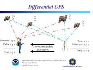
The GPS uses the Latitude and Longitude system to find the position of the receiver on earth and the altitude is calculated by finding the distance between the satellites and the receiver.

Why do GPS need 4 satellites?
GPS needs signals from at least four satellites to accurately calculate the position of the receiver in three dimension (latitude, longitude, and altitude) through a process called trilateration. GPS works even with less number of satellite signals but the accuracy of the data calculated might not be as reliable.
How does gps work without the internet?
GPS works by communicating with the special GPS receiver and the receiver doesn’t rely on the internet for coordinate data. However, to visualize the data on the map, the map needs to be downloaded from the internet. But offline maps can be downloaded and used to view GPS data on a map without the internet.
How does GPS jamming work?
GPS jammers work by sending out strong radio signals on the same frequency as the GPS satellites and overwhelming the GPS receiver. This disrupts the ability of the receivers to calculate the position information.
Why does GPS not work in planes?
GPS does work in the planes, but the signal blockage can happen from the airplane’s metal body combined with high altitude and speed of the planes. This can lead to momentary signal losses and reduced accuracy.