Last updated on August 5th, 2023 at 08:43 pm
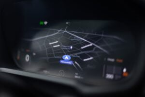
Satellite Navigation systems have revolutionized the way that modern human civilization navigate and locate ourselves on the Earth. The Global Positioning System ( GPS ) is the navigation system developed by the USA and the GLObalnaya NAvigatsionnaya Sputnikovaya Sistema ( GLONASS ) that is developed by Russia and the Galileo by the European Union. All these systems are developed by separate countries but serve the same purpose of providing navigation information, time and coordinate information to the receiver devices.
Difference Between GPS, GLONASS and Galileo
| COMPARISON | GPS | GLONASS | Galileo |
|---|---|---|---|
| Countries with full deployment | United States | Russia | European Union member states |
| Number of Satellites in Orbit | 24 (32 operational, but some older) | 24 (usually 26, some in maintenance) | 24 (eventually 30) |
| Orbital Altitude | ~20,200 km | ~19,100 km | ~23,222 km |
| Orbital Planes | 6 (with 4 satellites in each) | 3 (with 8 satellites in each) | 3 (with 10 satellites in each) |
| Accuracy | ~5 meters (civilian), ~0.3 meters (military) | ~10 meters (civilian), ~0.02-0.5 meters (military) | ~1 meter (civilian), ~0.1 meter (encrypted) |
| Frequency Band | L1, L2, L5 (L1C/A, L1C, L2C, L5) | L1, L2 | E1, E5a, E5b, E6 |
| Time to First Fix | ~30 seconds (cold start), ~15 seconds (warm start) | ~2 minutes (cold start), ~15 seconds (warm start) | ~4 minutes (cold start), ~15 seconds (warm start) |
| System Status | Fully operational worldwide | Fully operational worldwide | Partial operational |
| Autonomous Geographical Coverage | Global coverage | Global coverage | Regional coverage |
| Initial Operating Capability (IOC) | 1978 | 1993 | 2016 |
| Full Operational Capability (FOC) | 1995 | 1995 | 2020 |
Global Positioning System ( GPS )

How GPS works
GPS stands for Global Positioning System. It was originally called Navstar GPS. GPS is a satellite based navigation system owned by the United States of America. GPS is one the Global Navigation Satellite System that gives location information, i.e, where the GPS receiver is pointed on the Earth.
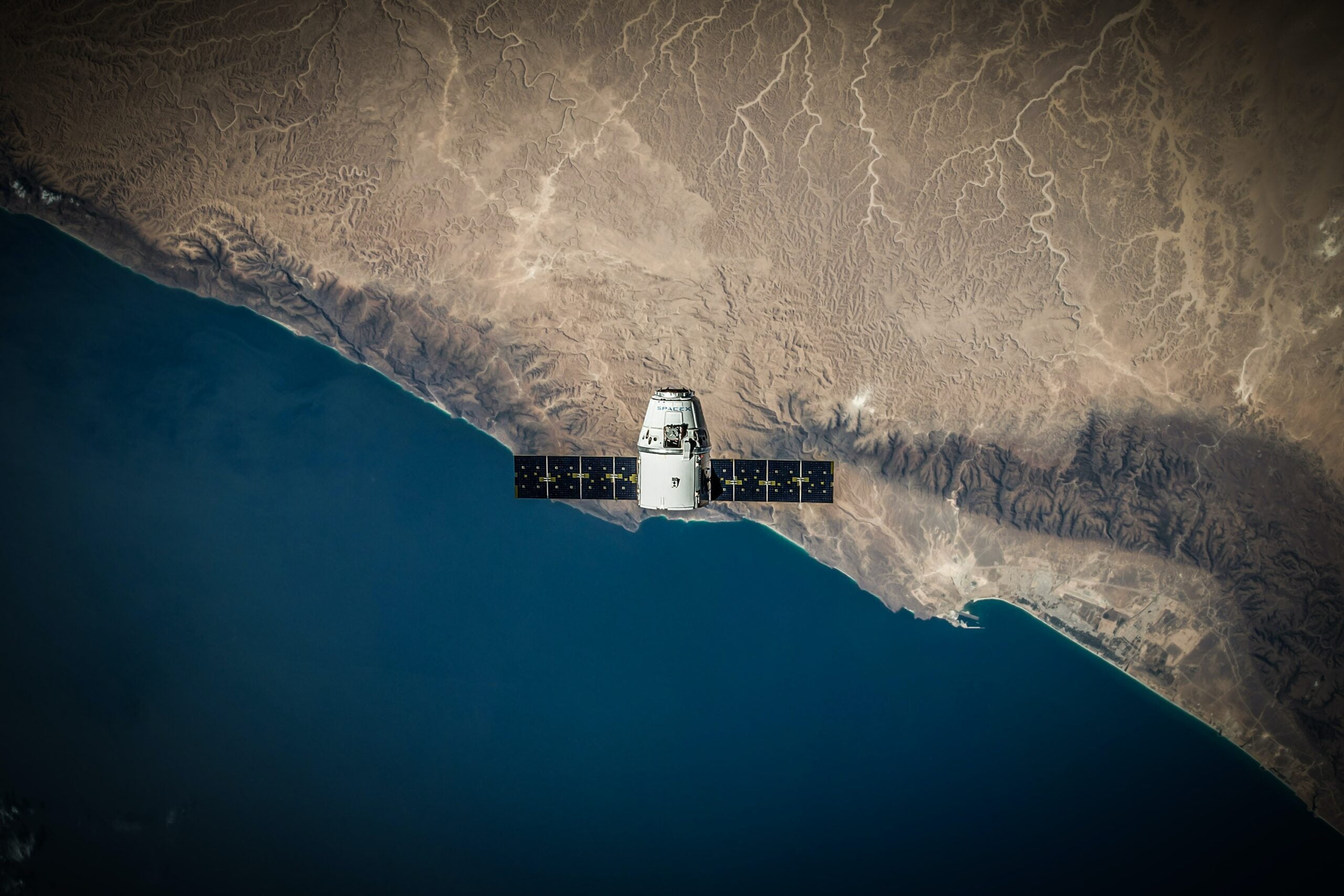
The GPS satellites are positioned in the Medium Earth Orbit ( MEO ) to achieve global coverage. There were a total of 83 GPS satellites built and 31 satellites will be operational in orbit at any given point of time. The GPS system requires a minimum of 24 healthy Satellites to provide reliable position data.
Advantages of GPS
- GPS satellite constellations are strategically positioned in a way to provide global coverage.
- GPS systems are Highly accurate providing precise information for multiple applications.
- Real time date provided by the GPS enables instant navigation and tracking
- Compatibility of GPS is high. Therefore, used in various devices such as smartphones, vehicles and wearables.
- GPS is a very mature system, thus providing robust infrastructures for navigation purposes.
Limitations of GPS:
- GPS signals can be interfered with by huge and tall buildings and dense foliage. Thus the signal is weakened, causing less accuracy.
- The GPS uses electromagnetic waves and thus those waves are poor at penetrating walls, the effectiveness of the GPS is limited for indoor navigation.
- In remote regions, the GPS signals may be weak or unavailable because of the Limited signal availability.
- The high reliance of satellite networks might make it vulnerable to potential system disruptions.
- GPS receivers try to communicate with the satellites continuously and thus making it hard for continuous usage in battery powered mobile devices.
GLObalnaya NAvigatsionnaya Sputnikovaya Sistema ( GLONASS )

The GLONASS is the satellite based navigation system that was developed by the Russian government which is a competitor for GPS. The project started the development in the year 1982 and the constellations are set and the project became operational in the year 1995. These satellites that
The GLONASS satellites are positioned in the Medium Earth Orbit ( MEO ) at around 19,100 kms to achieve global coverage. There were a total of 144 GPS satellites built and out of which 132 reached the orbit and 24 satellites are operational in orbit. The GLONASS system requires a minimum of 18 healthy Satellites to provide coverage for the entirety of Russia.
Key differences between GPS and GLONASS
Both the GPS and GLONASS work on the same underlying principles. But, there are more noticeable differences between both the systems. The GLONASS uses a different orbital configuration for the satellite compared to the GPS, making it highly reliable in high latitudes and urban areas. But due to the smaller number of satellites comparing the GPS, GLONASS may experience temporary outages.
Strengths and weaknesses of GLONASS
GLONASS provides valuable data and accuracy in regions where GPS signals might be weak or unusable. On combining it with GPS in multi constellation receivers, the overall position accuracy is improved. However, the limited constellations and occasional technical issues in the GLONASS satellites affects the consistency in global coverage and performance of it.
European Global Navigation Satellite System – Galileo

Galileo is a Navigation system developed by the European Union with the Europe Space Agency, which aims to provide a robust and independent satellite navigation system. The First test satellite for galileo was launched in the year 2005 and the Galileo is operational with 30 total satellites and 24 active satellites and is expected to be fully operational by the year 2025.
Unique features and benefits of Galileo compared to GPS and GLONASS
Galileo is mainly developed for civilian applications unlike GPS and GLONASS which is developed for military applications. The Galileo satellites are equipped with more advanced atomic clocks and this makes its position accurate and resilient to signal interferences. Galileo also provides search and rescue services which further expand its usage.
Galileo’s current status and future potential
The more Galileo satellites that are deployed to orbit, the more the system evolves and improves its performance. Galileo’s multi-constellation compatibility helps users achieve high position and time accuracy by combining it with other satellite navigation systems. The growing adoption of Galileo in various applications increases the position of Galileo as the major global navigation system.
Conclusion
GPS, GLONASS, and Galileo are satellite-based navigation systems that are developed by different countries to serve the same purpose of providing navigation, time and coordinate information to its receivers. Where,
- GPS (Global Positioning System) is developed and maintained by the USA and gives global coverage with high accuracy and mature infrastructure. But, It has limitations in urban areas and indoor navigation and may be vulnerable to disruptions.
- GLONASS (GLObalnaya NAvigatsionnaya Sputnikovaya Sistema) is developed by Russia and provides valuable data in regions where the GPS signals are weak. It has fewer satellites and occasional technical issues affecting global coverage and performance.
- Galileo, developed by the European Union, is designed for civilian applications with advanced atomic clocks, providing accurate and resilient positioning. It offers search and rescue services and is steadily gaining adoption as the major global navigation system.
Articles You Might Like
How DGPS increases GPS accuracy